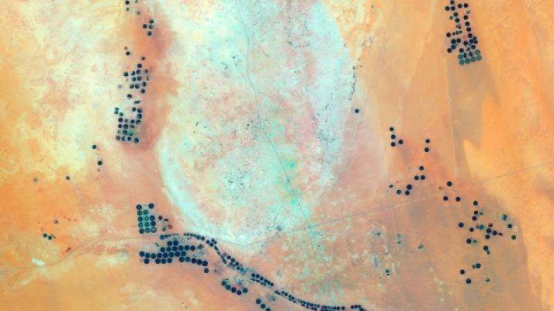
Jeremy Starn is a socially engaged artist whose work centers around the philosophical questions of humanities relationship with the environment. His photography and satellite images explore questions of global development and the meaning of a "global community".
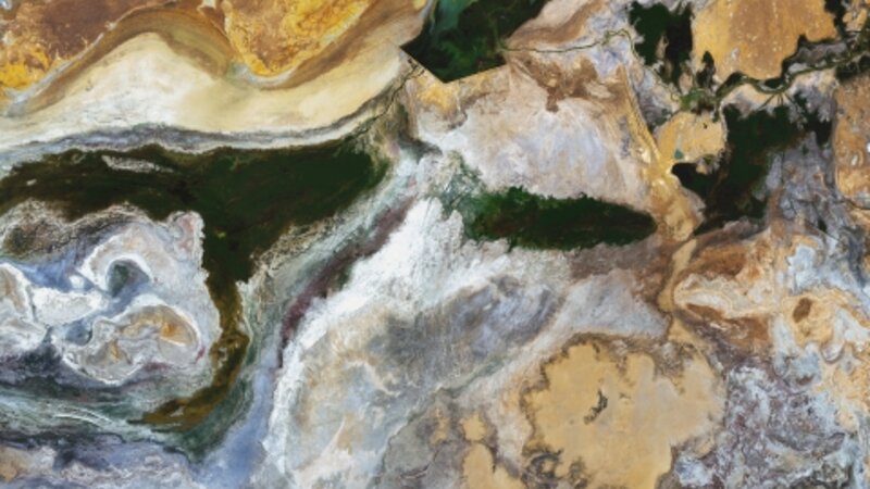
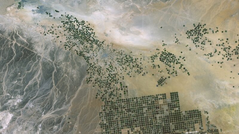
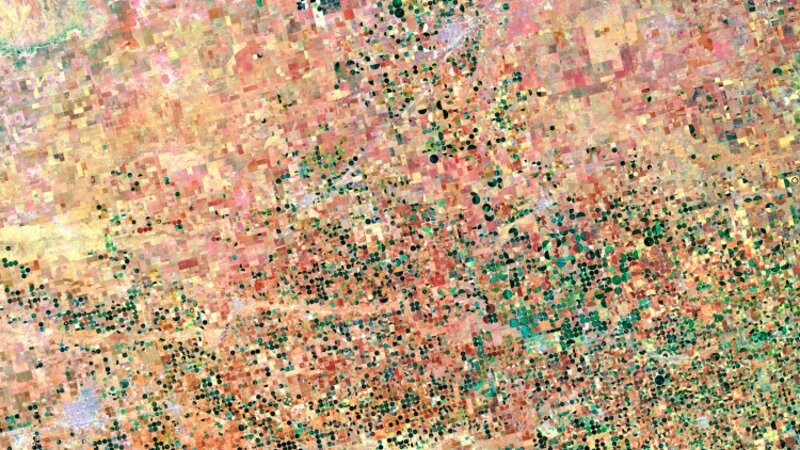
These satellite images are taken with the USGS Landsat 8 satellite and are a composite of many different images. They are colored and composed by the artist and together tell a story of our relationship with the environment.
Aral Sea, Kazakhstan
Photography
Kokaral Dam, Aral Sea, Republic of Kazakhstan
46° 4’ 51” N 60° 47’ 7.9” E
Formerly the fourth largest lake in the world, the Aral Sea was siphoned off by Soviet Union irrigation projects in the 1950’s. Although irrigation boosted agriculture production it devastated the Aral Sea. By 2009 the southeastern lake was dry and renamed the Aralkum desert. It was declared by the UN as “one of the planet’s worst environmental disasters”. In 2005 a dam was built in an effort to save what is left of the northern portion. Uzbekistan is still draining water from one of the Aral Sea’s main river sources in order to maintain its global cotton industry.
Ogallala Aquifer, Texas, USA
Photography
Ogallala Aquifer, Texas, United States of America
34° 38’ 20” N, 102° 43’ 18” W
The Ogallala Aquifer is one of the largest aquifers in the world, stretching from South Dakota to Northern Texas. It supplies drinking water to over two million people and is the primary source of water for industrial agriculture in the Midwest. Since the discovery of this low-lying aquifer and the invention of the pivotal irrigation system in the 1950s, the Ogallala Aquifer has become the most irrigated region in the western hemisphere. Irrigation accounts for 95% of the aquifers use however it is an unsustainable resource. Within several decades it is predicted that the aquifer will no longer be able to support the currant scale of industrial agriculture.
Al-Jouf Providence, Kingdom of Saudi Arabia
Photography
Al-Jouf Providence, Kingdom of Saudi Arabia
30° 30’ 56” N 38° 13’ 18” E
Al-Jouf province is one of the most important agricultural regions of Saudi Arabia, with the majority of land in Al-Jouf owned by the Watania Corporation. Watania switched to an entirely organic portfolio in 2005, producing olives, dates, wheat, and other fruits and vegetables. A 2013 UN study suggests that the underlying aquifer supplying water to the region is dropping significantly and may run dry if groundwater extraction is not adjusted.
Ghawar Oil Field, Al-Ahasa, Saudi Arabia
Photography
Ghawar Oil Field, Al-Ahasa, Saudi Arabia
25° 25’ 48” N, 49° 37’ 12” E
The Ghawar Oil Field is owned and operated by the state run oil company,
Saudi Aramco. Discovered in 1948 it is estimated to have produced over 65 billion barrels of oil. It remains the largest oil field in the world producing approximately five million barrels of oil and two billion cubic feet of natural gas per day. The International Energy Agency has declared that the reserve is approximately half way depleted, although this is highly contested.
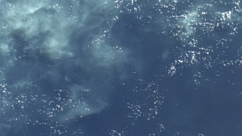
Republic of Nauru, South Pacific
Photography
Republic of Nauru, South Pacific
0° 31’ 22” S 166° 55’ 53.4” E
With an area of 8 sq. miles and a population of ~10,000 people, Nauru is the smallest island nation in the world. Starting in the 1960s, its economy was based on extracting a type of phosphate, mainly composed of bird guano. Profits from the mining rights were distributed to Nauru’s citizens making per-capita GDP one of the highest in the world. By 2000 mineral reserves were drastically depleted leaving unemployment around 90%. Due to the extensive mining, Nauruan’s are now forced to import nearly all of their food. As a result of the increased importation of processed food Nauru’s obesity rate is around 95%, the highest in the world. Sea level rise and an eroding coastline have been steadily increasing and as such Nauru is predicted to sit below sea level within the next century.